Petra Weber · 4 November 2026
Citizen Science Takes Root in Plumewood as Locals Monitor Nearby Wetlands
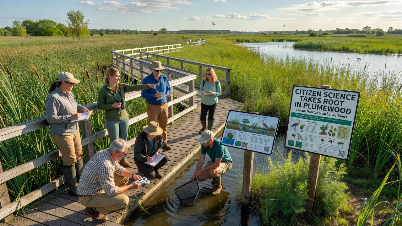
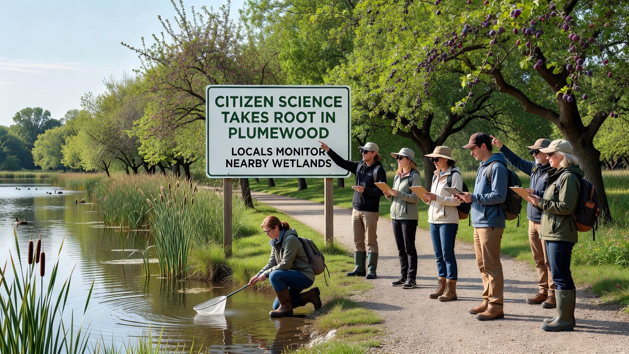
Plumewood residents have organized a citizen science initiative focused on tracking conditions in local wetlands, and this effort gained momentum through structured training sessions and shared data protocols that began rolling out in early 2025. Participants collect measurements on water levels, plant diversity, and wildlife sightings using standardized field sheets along with mobile applications that upload results to a central database. The program runs year-round, yet activity peaks during seasonal shifts such as the monitoring drives scheduled for November 2026.
Background on the Wetlands and Local Involvement
Wetlands surrounding Plumewood cover several hundred acres and serve as habitat for migratory birds, amphibians, and native vegetation that stabilize soil along waterways. Data from repeated surveys show fluctuations in water salinity and vegetation cover that correlate with precipitation patterns recorded by regional weather stations. Residents formed volunteer teams after noticing gaps in official monitoring coverage, and they coordinated with nearby universities to align their methods with established scientific standards.
One team of volunteers documented a 12 percent increase in certain sedge species between spring and fall surveys in 2025, while another group recorded sightings of previously unlisted frog populations. These observations feed into broader datasets that researchers cross-reference with satellite imagery for verification.
Training and Data Collection Methods
Workshops held at community centers teach participants how to identify indicator species, operate water testing kits, and log coordinates accurately. Sessions cover safety protocols for working near water edges and emphasize consistent timing to reduce variability in results. Volunteers typically work in pairs, with one person handling equipment while the other records entries, and they rotate roles across multiple outings to build familiarity with all tasks.
Equipment includes pH meters, turbidity tubes, and GPS units calibrated against reference stations maintained by state environmental agencies. Data uploads occur weekly, and quality checks by project coordinators flag outliers for re-measurement. This approach mirrors protocols used in similar programs run by environmental departments in Australia and Canada, where community-collected records have supplemented official reports on habitat changes.
Key Findings and Partnerships
Analysis of submissions from the first full year revealed seasonal drops in dissolved oxygen during warmer months, prompting targeted follow-up measurements in specific marsh zones. These patterns align with findings published by the US Environmental Protection Agency on wetland responses to temperature variations. Partnerships with local high schools allow students to contribute through class projects, and several participants have presented summaries at regional science fairs.
November 2026 events include expanded night surveys for amphibian calls, which require additional training on audio recording equipment. Coordinators report steady growth in sign-ups, with over 150 active volunteers contributing across different age groups. The accumulated records now form a multi-year baseline that external scientists can access through an open portal hosted by a participating research institution.
Community Outcomes and Broader Context
Regular monitoring has produced maps that highlight erosion hotspots and areas with recovering plant cover after earlier restoration plantings. Local libraries host public displays of the data visualizations, and these exhibits draw visitors who ask questions about how individual measurements connect to larger ecological trends. Similar citizen-led wetland projects in European Union member states have demonstrated comparable success in filling data gaps between official survey intervals.
Equipment maintenance relies on donations and small grants that cover replacement sensors and training materials. Participants share updates through a dedicated newsletter that summarizes recent uploads and upcoming field dates, keeping involvement consistent even during colder periods when access becomes more challenging.
Conclusion
The Plumewood wetlands monitoring program continues to expand its dataset through consistent volunteer effort and methodical training. Records gathered up to November 2026 provide a foundation for tracking long-term shifts, and the structure established by residents supports ongoing contributions from new participants. This model integrates local observations with established scientific practices, generating information that complements work by government agencies and academic researchers.