Devon Foster · 7 October 2026
Residents Share Perspectives on Plumewood Main Street Redesign Plans
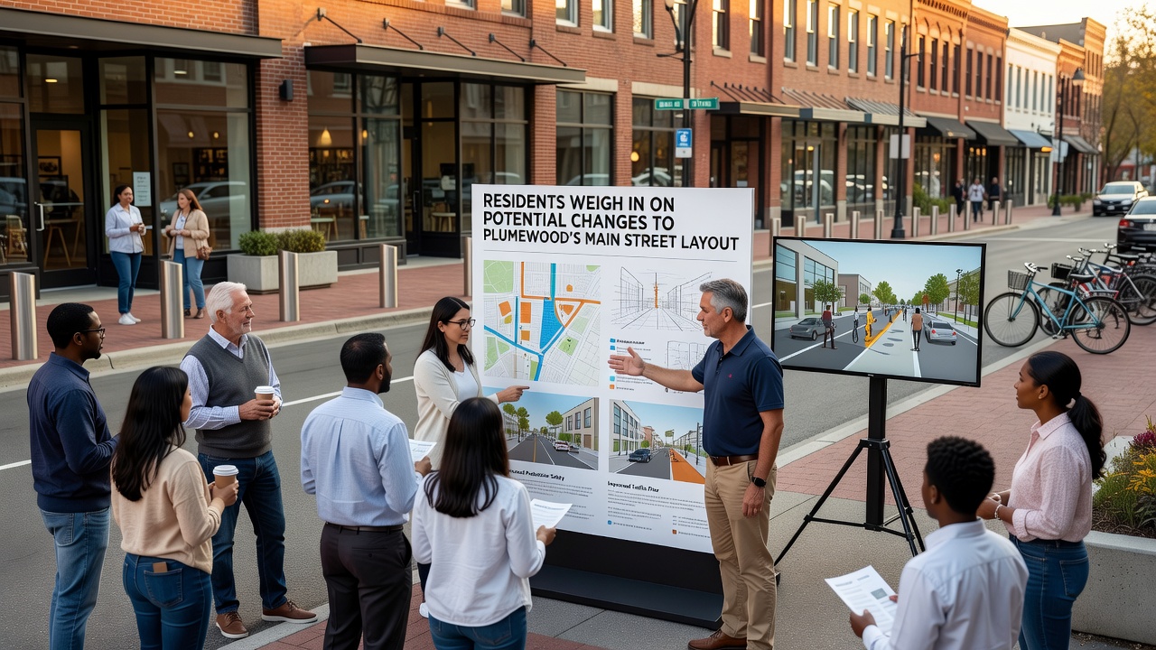
Public input sessions have drawn steady crowds as Plumewood residents examine proposed adjustments to the Main Street corridor, and these gatherings continue through October 2026 with planners collecting comments on traffic patterns, pedestrian access, and commercial access points. Data from similar projects in comparable towns shows that layout modifications often reduce vehicle speeds by 15 to 20 percent while increasing foot traffic when sidewalks widen and crosswalks receive raised platforms, according to figures from the Federal Highway Administration.
Background on the Proposed Adjustments
City engineers outlined several layout options earlier this year after traffic counts revealed average daily volumes exceeding 18,000 vehicles along the central stretch, and the plans include options for dedicated bike lanes, angled parking adjustments, and new signal timing at four intersections. Observers note that these elements aim to address congestion that peaks between 7 and 9 a.m. as commuters pass through on the way to regional employment centers, while also improving safety records that logged 42 incidents last year.
Researchers from regional planning departments compiled baseline measurements on air quality, noise levels, and business delivery times before any changes occur, and this information serves as reference material during resident review periods. One study revealed that communities implementing similar corridor redesigns saw a 12 percent drop in collision rates within the first 18 months when protected turning movements were added at key points.
Resident Feedback Collected So Far
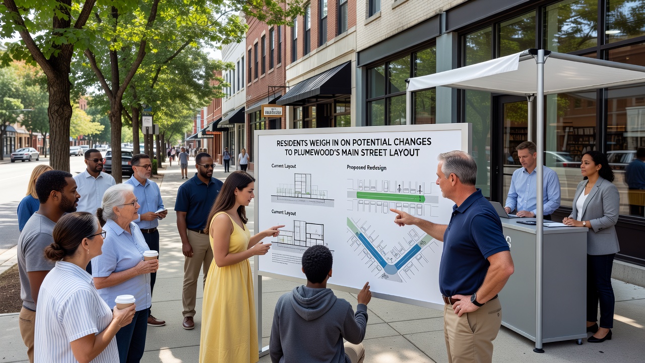
Survey responses gathered at three open houses indicate divided views on parking configuration, with 48 percent favoring the retention of parallel spots to preserve delivery access for storefronts and 37 percent supporting angled parking that could add capacity but might require some curb realignment. Business owners along the route submitted written comments that emphasize the need for loading zones that accommodate trucks without blocking travel lanes during morning hours, and these details appear in the summary reports released last month.
Parents and school administrators highlighted concerns about crossing safety near the elementary school entrance, and they pointed to existing signal timing that allows only 25 seconds for pedestrians during rush periods. Data shows that extending those intervals to 35 seconds correlates with fewer near-misses in comparable districts, according to reports issued by the Transportation Research Board.
Impacts on Local Commerce and Mobility
Retail associations provided sales data from the past three years that shows a 9 percent annual increase in downtown foot traffic during summer months, and representatives stressed that any layout shift must maintain visibility for storefronts while accommodating delivery schedules that peak before 10 a.m. Planners responded by modeling scenarios where curb extensions create additional space without removing more than two current parking spots per block.
Cyclist groups submitted counts indicating roughly 220 daily bike trips along the corridor during fair weather, and they advocated for protected lanes separated by curbs or planters rather than painted markings alone. Evidence from Australian urban transport evaluations suggests that such separation reduces conflicts between cyclists and turning vehicles by up to 30 percent in corridors with similar volumes.
Next Steps in the Review Process
Additional listening sessions are scheduled for late October 2026 at the community center, and digital comment forms remain open through the end of the month to capture input from those unable to attend in person. Engineers plan to incorporate the feedback into refined drawings that will undergo cost analysis before any final recommendation reaches the planning commission.
Traffic modeling software will test each option against projected growth through 2035, and the results will compare projected delays, emissions estimates, and accessibility scores for users with mobility devices. Those projections rely on current counts plus regional population forecasts issued by state demographic offices.
Conclusion
Documentation from the ongoing review process shows that resident comments continue to shape the range of options under consideration, and the final package of changes will reflect both quantitative measurements and qualitative input collected through October 2026. Updated drawings and supporting data will be posted online once the comment window closes, allowing further review before any construction timeline is set.